


Product Details
+
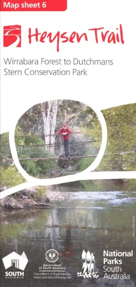
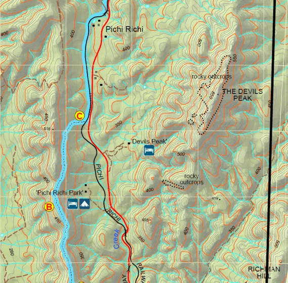
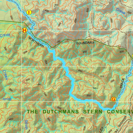
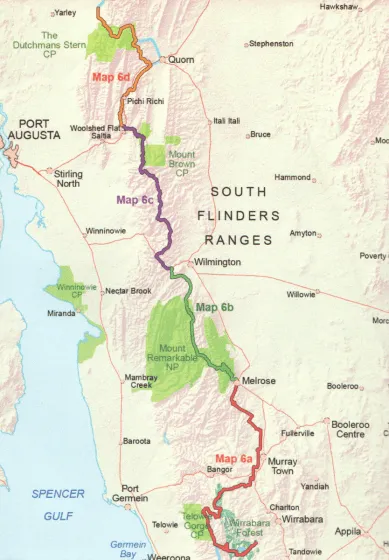
Heysen Trail Map 6 covers the Southern Flinders Ranges from Wirrabara Forest to Dutchmans Stern Conservation Park. The map sheet includes 4 detailed 1:50 000 topographic maps of the sections of the Heysen Trail covered by this map sheet.
- 1:50 000 scale (1cm = 500m)
- Fold-out map, double sided, water resistant paper
- Elevation profiles with km markers and crossing point names
- Loop trails in national parks
- Location of supplies & facilities
- Important contact details
- Interesting facts along the Trail
- Accommodation and campsites
- Advice on walking and safety
Coverage of this map:
- Map 6A, Wirrabara Forest to Melrose
- Map 6B, Melrose to Wilmington
- Map 6C, Wilmington to Woolshed Flat
- Map 6D, Woolshed Flat to Dutchmans Stern Conservation Park
![Garmin quatix 7 - Solar Edition Marine GPS Smartwatch w/Solar Charging [010-02541-60]](https://www.sneakdazz.shop/image/garmin-quatix-7-solar-edition-marine-gps-smartwatch-wsolar-charging-010-02541-60_zecp1D_285x.webp "Garmin quatix 7 - Solar Edition Marine GPS Smartwatch w/Solar Charging [010-02541-60]")


