


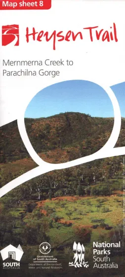
Product Details
+
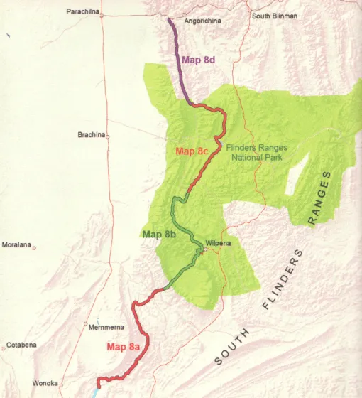
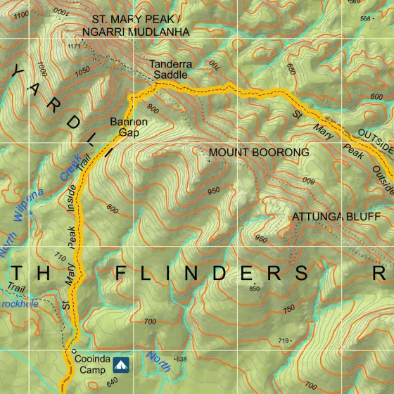
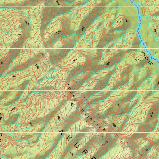
Heysen Trail Map 8 covers the Flinders Ranges from Mernmerna Creek to Parachilna Gorge. The map sheet includes 4 detailed 1:50 000 topographic maps of the sections of the Heysen Trail covered by this map sheet.
- 1:50 000 scale (1cm = 500m)
- Fold-out map, double sided, water resistant paper
- Elevation profiles with km markers and crossing point names
- Loop trails in national parks
- Location of supplies & facilities
- Important contact details
- Interesting facts along the Trail
- Accommodation and campsites
- Advice on walking and safety
Coverage of this map:
- Map 8A, Mernmerna Creek to Black Gap
- Map 8B, Black Gap to Bunyeroo Creek
- Map 8C, Bunyeroo Creek to Aroona
- Map 8D, Aroona to Parachilna Gorge


")

